We are headed out this morning for the Natchez Trace. This is a 444 mile long road, two lane, that goes through Mississippi, Alabama and Tennessee. This route 61 takes us to the beginning.


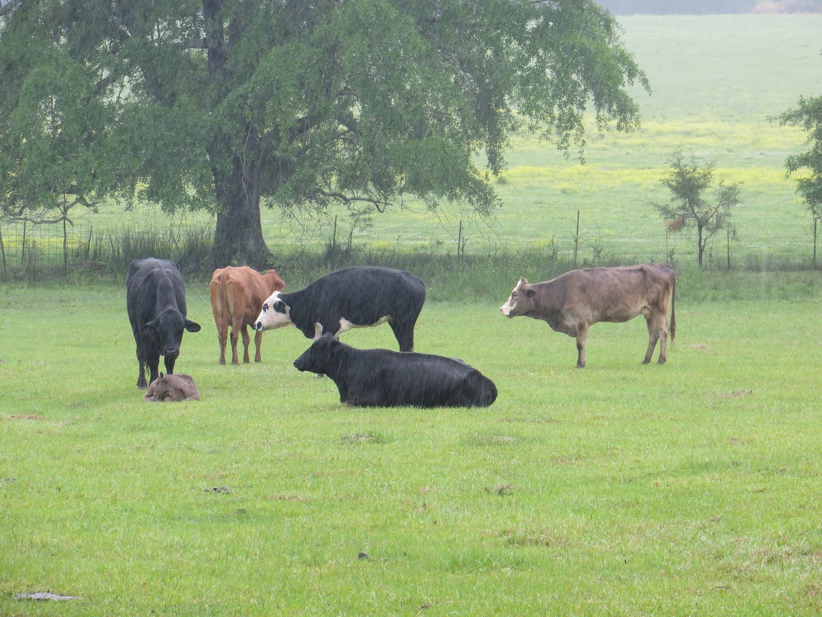
As you can see, it's raining. And it's cold. All of the waterways are full, and rising.

This reservoir on the Pearl River is about to overflow its banks.

It is pouring out! We can't get out to look at anything. We followed this route south when our son graduated from pilot training in Columbus Mississippi. It was January then, but not as cold as now!
We practically have the road to ourselves, and there are no commercial trucks allowed. Despite the cold and rain, it is beautiful, with so many varieties of dogwood, redbud, cedar, oak, elm, locust, etc. The dogwood and redbud have been in bloom along here about this time of year in the past, but I guess the colder weather has kept them from flowering out.


This is a map from the national weather service, showing the cold front we are in. Predictions are that it is slow moving and we will move east with it for about the next week! Snow in the upper midwest is already a concern, since it is so late in the season and a quick snow melt will mean flooding on the Mississippi and Missouri rivers.

These three antique cars pulled into a rest stop where we were. I'm sure it's not the outing they had planned!


A series of tornadoes hit the Natchez Trace in 2011. Along here, it took out an eight miles long swath. We have seen many downed trees along the road, but the Park Service leaves them for animal forage, and decomposition as a natural part of rehabilitating the area.
We are disappointed that we haven't gotten to see more of the sites along the Trace today. But, the temperature has dropped to 45 degrees! As we pull into an RV park in Tupelo, the woman at the reception desk said she hoped it didn't snow!

No comments:
Post a Comment